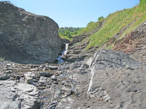
Park is known for its fascinating geology and fossils; an interpretive kiosk examines highlights of the four million years of earth history found here. Pleasant 1.5 km walking trail through forest, and to shore access. Geocaching opportunities as well as snowshoeing and cross country skiing. Located 27 km (17 miles) north of Antigonish.
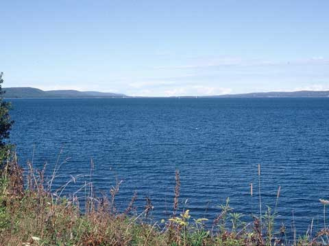
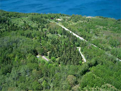
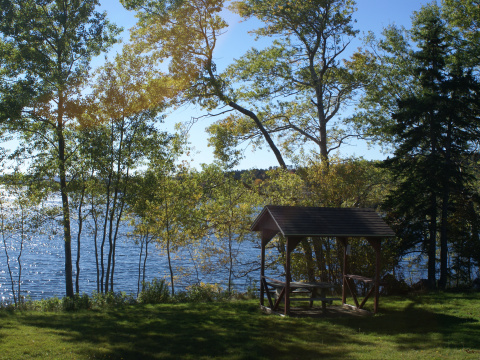
Formerly a farm, this park situated on a knoll under a canopy of trees, offers a lovely view of Bras d' Or Lake. Fishing opportunities on the lake. Located 12 km (8 mi) south of Highway 125.
Home to a number of historically significant sites, including the site of a lime kiln used to make plaster and mortar, some of which was used in the construction of Fortress Louisbourg, as well as the remains of two forts that were involved in the French and English struggle over the North American continent.
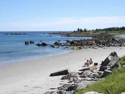
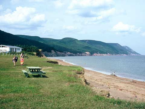
A white-sand beach and a picnic area. Beach is supervised (July-August/STC). Outdoor barbecue grills, change rooms and toilets. Located 20 km (12 mi.) south of Hwy 103, Exit 7.
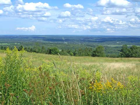
Impressive view of Antigonish County and Cape Breton Island. A 6 km (3.5 mi) trail system provides a mix of paved walkways as well as fairly challenging unpaved hills great in winter for cross-country skiing and snow-shoeing.
Situated on a former farm this small, secluded park is nestled against a hardwood-covered hill. A short walk leads to a look-off with a view of East Bay.
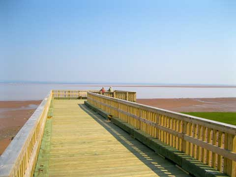
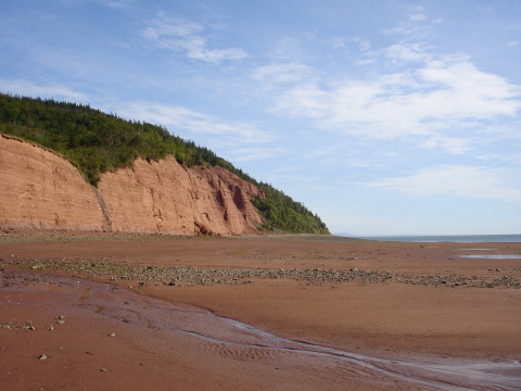
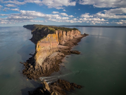
Rising majestically from the shores of the Minas Basin, Blomidon Provincial Park is renowned for its spectacular views. Blomidon's 759 ha (1,875 acres) include 180 m (600 ft.) high cliffs, a variety of habitats, striking natural features, abundant wildlife -- and the world's highest tides wash its shores.
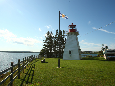
Wooded hilltop campground with a spectacular view of Guysborough Harbour an ideal place to camp while touring the Eastern Shore conveniently located between the communities of Boylston and Guysborough (town).
Perched on the shore of Aspy Bay, this site features scenic vistas of the steep face of the Pollets Cove-Aspy Fault Wilderness Area. Provides access to 3 km beach walk. A National Historic Site cairn commemorates the landing of explorer John Cabot.
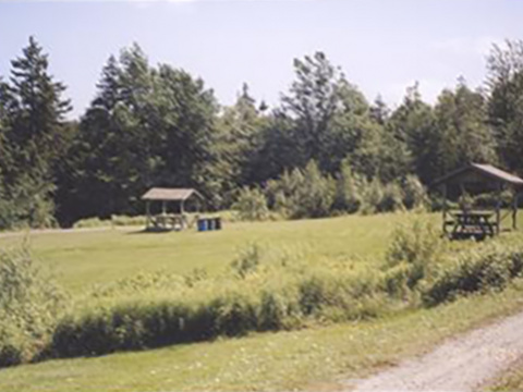
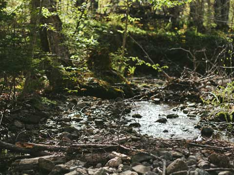
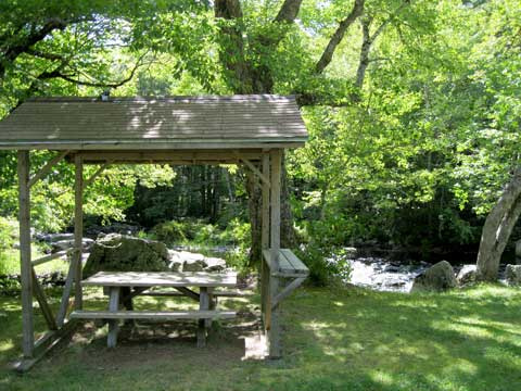
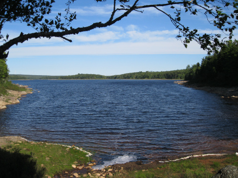
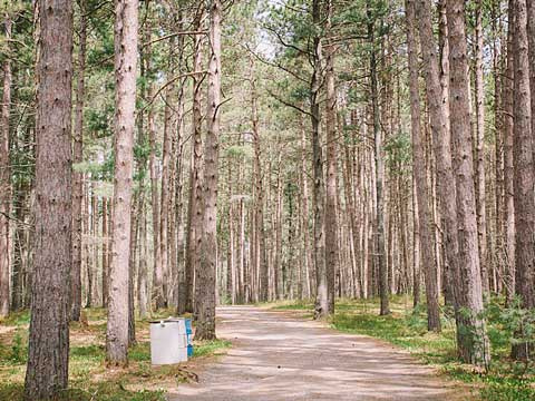
A waterside park offering a shaded rest stop under a canopy of pine and hardwoods. Across the road is access to Ponhook Lake, a favourite for fishing and canoeing. Located approximately 40 km north of Liverpool.
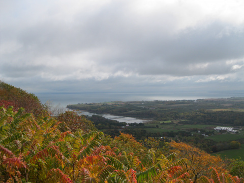
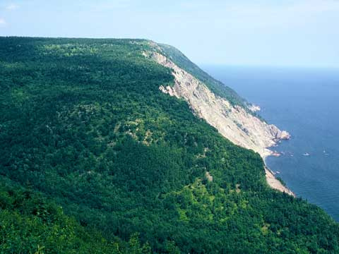
Located on top of Smokey Mountain and offering spectacular coastal views, this is a popular rest stop for those traveling the Cabot Trail and Cape Breton Highlands National Park areas. A 10 km (6.2 mi) return trail provides more exciting views and photo opportunities. Allow four hours to hike the trail.
An iconic provincial coastal landmark overlooking Bay of Fundy and its mesmerizing tides. Enjoy a moderately challenging backcountry hike as the trail opens out to a lookoff 60 metres (200 ft.) above the rugged coast of the bay. A 13.2 km looped trail with multiple lookoffs.
A small lakeside park under a canopy of mature softwood trees. The small beach provides an opportunity for a quick dip, or launch a canoe or small boat and explore the lake. Located near Chester, 17 km (10 mi) north of Hwy 103, Exit 8.
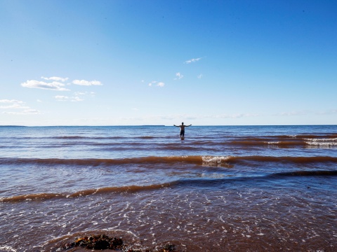
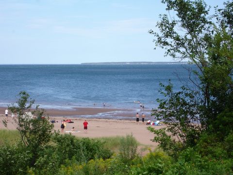
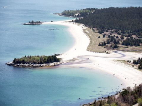
A mile long sand beach offers some of the warmest saltwater swimming north of the Carolinas and the campground provide excellent opportunities for camping, or just appreciating nature.
Located about half-way down Long Island in Digby County, this is a popular rest spot for those travelling to Brier Island. Walk the the 0.8 km (0.5 mi) trail to great views of the Bay of Fundy. Don’t forget your camera for shots of the rocky shoreline and wildlife you may see along the way.
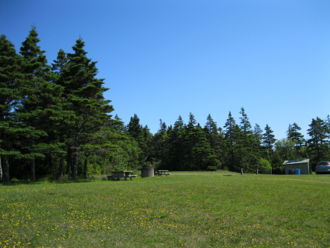
A small shaded picnic area beneath a stand of red pine. Cross-country skiing opportunities in winter. Located 3 km east of Kingston; off Hwy 101 between Exits 16 and 17.