Wooded hilltop campground with a spectacular view of Guysborough Harbour an ideal place to camp while touring the Eastern Shore conveniently located between the communities of Boylston and Guysborough (town).
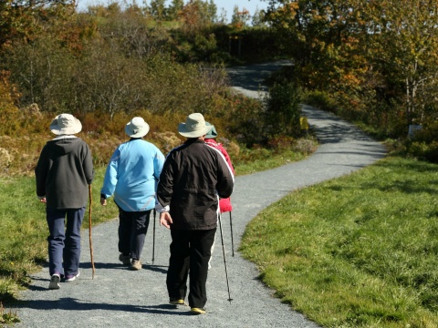
This park features 7 main trails (7.9 km total) which highlight the area’s heritage and natural flora and fauna, as well as woodlands, fields and salt marsh shoreline. The trailhead and parking lot are located at 256 Bissett Road in Cole Harbour.
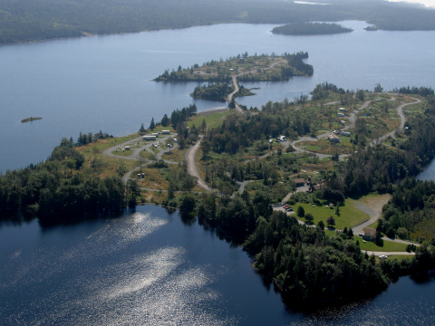
Situated on a large lake not far from the Musquodoboit Valley, Dollar Lake Provincial Park is the perfect escape. The quiet woodland setting offers a wide range of outdoor opportunities, including camping, boating, canoeing, water-skiing, and fishing. A beautiful sandy beach at the north end of the lake offers fresh water swimming.
Lawrencetown Beach is noted for its surf, and is a mainstay of surfers living here or visiting the province. Surfing instruction and outfitters located near the park. There is supervised swimming (July – August). Strong rip tides and currents are common - swimmers must exercise caution. Provincially and regionally significant coastal park system; includes regionally significant beach parks, proximity to rails to trails corridor, Trans Canada Trail passes through Cole Harbour Heritage Park
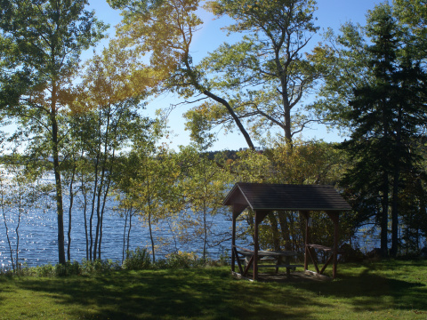
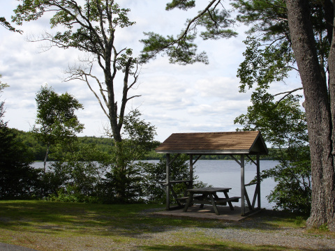
A quiet area with picnic tables under mixed wood trees beside an open field and overlooking Lochiel Lake. A short walking trail and some snow shoeing opportunities in winter. Located 6.5 Km (4 mi) north of Aspen.
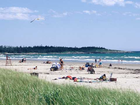
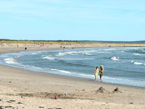
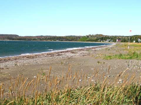
A 3.7 km crescent, white-sand beach with open and wooded picnic areas behind the dunes. Boardwalks and hard-surfaced paths offer access for beachcombing and swimming. Supervised swimming (July-August/STC). Wildlife refuge area for migratory waterfowl and protected area for piping plover. Parking may be limited on summer weekends. Located 11 km (7 mi) south of Musquodoboit Harbour.
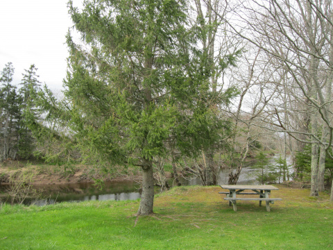
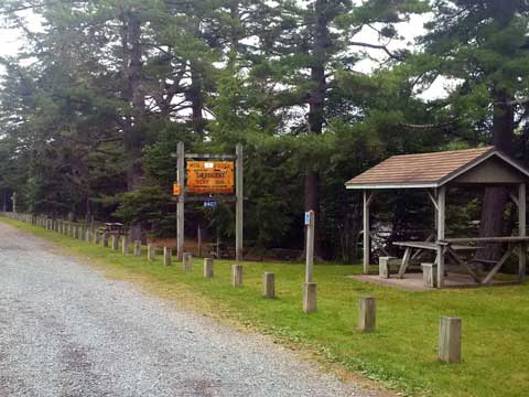
Attractive park on the Musquodoboit River. Picnic in open or hardwood shaded areas; also a group use area. Located on Hwy 224, 42 km (26 mi) north of Route 7.
Rainbow Haven Beach is popular with families looking to have a day of fun at the beach. There is supervised swimming (July – August). Also a great place to fly a kite.
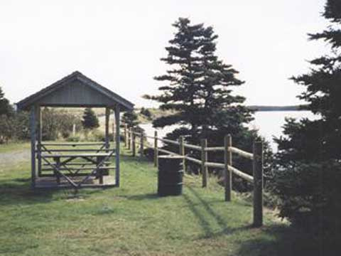
Small picnic area on the St. Marys River. Walking trails at adjacent municipal park and just a short drive from Sherbrooke Village. Just north of Sherbrooke on Route 7.
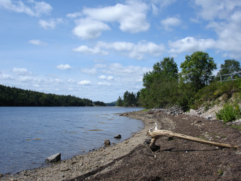
Located southwest of Sheet Harbour, this park occupies a rugged wind swept peninsula that juts 6 km (3.7 mi) into the Atlantic Ocean. The park's hiking trails provide access to a variety of natural aspects, interesting geological features, wildlife habitat, scenic lookoffs, secluded beaches and 16 km (10 mi.) of unspoiled coastline.
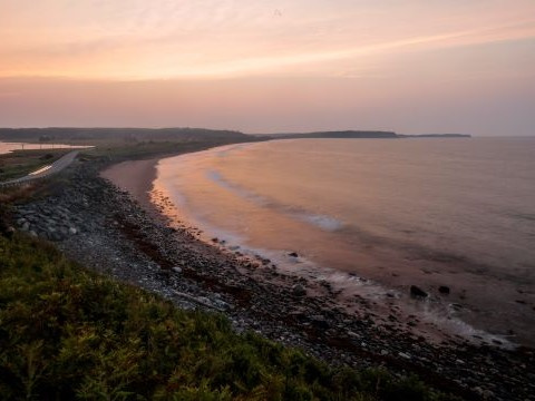
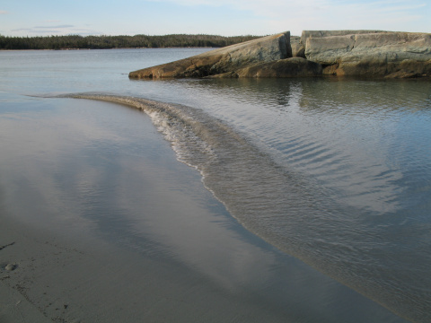
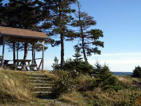
Picturesque picnic area on a rocky point looking out to the open Atlantic, 8 km (5 mi) south of Larry's River. Sweeping sand beaches; boardwalks and interpretive displays describing natural environment as well as historical significance of this site as landing point for first trans-Atlantic cable.