All Parks in Nova Scotia

All Parks in Nova Scotia


Parks filter

Savary

Once a shipbuilding site; a picturesque picnic area located under a birch canopy overlooking St. Mary's Bay.

At low tide you can beachcomb along the rocky shoreline. Geocaching opportunities

Scots Bay

Small park offering access to Scots Bay, near Cape Split.  Watch the world's highest tides rise and fall before your eyes.

Second Peninsula

This large scenic picnic park on the ocean has tables scattered under a stand of spruce and fir and can easily accommodate group picnics. Access to cobble beach. Located near Lunenburg, 10 km (6.2 mi) south of Hwy 103, Exit 10.

Sherbrooke

Small picnic area on the St. Marys River. Walking trails at adjacent municipal park and just a short drive from Sherbrooke Village. Just north of Sherbrooke on Route 7.

Shinimicas

A small picnic park located under stately elms along the banks of the Shinimicas River. Located 1 km (0.5 mi) east of Shinimicas Bridge.

Accessible Facilities

Smileys

Abundant gypsum deposits have influenced the landscape and vegetation in and around the park. Home to rare plants and fossils, Smileys also protects stands of yellow birch and hemlock.  Bordered by the Meander River where you can fish or pan for gold. 

Accessible Facilities

Smugglers Cove

Picturesque day-use park overlooking a small cove reputedly used by rum runners in the early 1900s. The cove fills with water at high tide. There is no access to the water. 

Spry Bay

Small roadside park overlooking the bay.

St Anns

Scenic view overlooking a saltmarsh and bay. A 500 m trail meanders by the water offering opportunities to view various waterfowl and other birds.

Accessible Facilities

Summerville Beach

One of the finest beaches on the South Shore. Approximately 1 km (1/2 mi) long, the beach is backed by sand dunes and an open saltmarsh. As the dunes are used by piping plover, please keep on designated paths.

Swiss Air Memorial Site (Peggys Cove)

A short (160 m) walking trail through iconic rock formations to a monument erected in memory of the 229 people who lost their lives in the 1998 crash of Swissair Flight 111. Parking area for 12 – 15 vehicles.

Swissair Memorial Site (Bayswater)

Monument placed in memory of those who lost their lives in 1998 when Swissair Flight 111 crashed into the Atlantic Ocean approximately 8 km (5 mi) from shore. The small fishing village of Bayswater was one of the sites used in the recovery operation following the crash.

Tatamagouche

Small picnic area located 1.5 km (1 mi) east of Tatamagouche.

Taylor Head

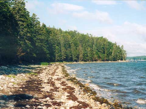
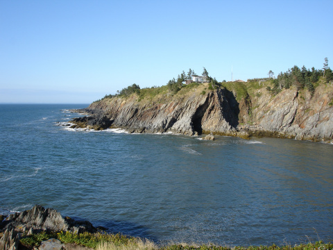
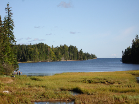
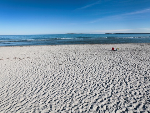
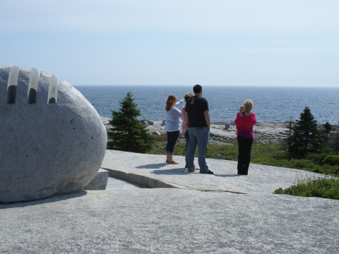
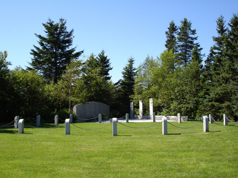
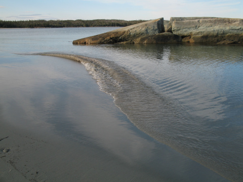
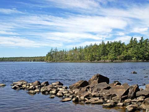
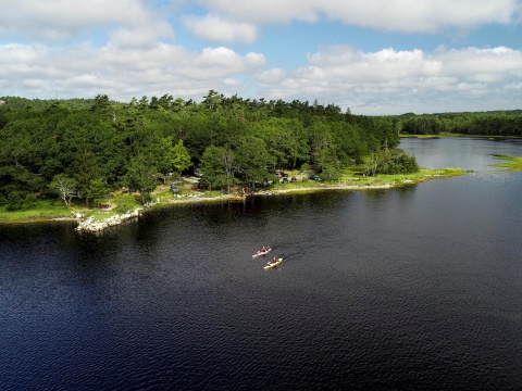
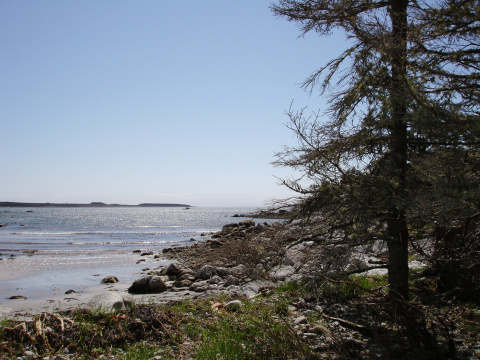
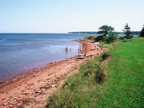
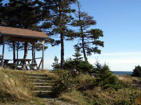
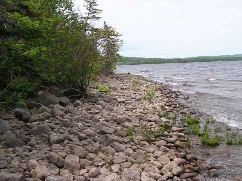
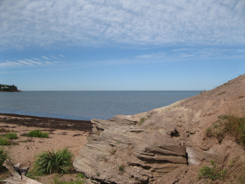
Located southwest of Sheet Harbour, this park occupies a rugged wind swept peninsula that juts 6 km (3.7 mi) into the Atlantic Ocean. The park's hiking trails provide access to a variety of natural aspects, interesting geological features, wildlife habitat, scenic lookoffs, secluded beaches and 16 km (10 mi.) of unspoiled coastline.

Accessible Facilities

Ten Mile Lake

A small lakeside park beneath a stand of pine and hemlock. Relax by the shore or take a quick dip (unsupervised). Excellent fishing. Located 21 km (13 mi) north of Liverpool.

Accessible Facilities

The Islands

A charming coastal camping park overlooking Shelburne Harbour.  A popular place to stay while visiting the historic Town of Shelburne and surrounding area.  Close to the Town of Shelburne you can walk or bike there on the Roseway River trail just outside the park. Prior to becoming an operational Provincial Park in 1958, there was a granite quarry on site and evidence can still be seen in the park.

Accessible Facilities

Thomas Raddall

Overlooking Port Joli Harbour on Nova Scotia's South Shore with over 650 ha (1,600 acres) the park offers visitors a wide range of outdoor experiences, including hiking, camping, picnicing, sight-seeing, or relaxing on the beach.

Tidnish Dock

This site marks the eastern terminus of the historic Chignecto Marine Transport Railway - one of Nova Scotia's most ambitious engineering projects. The project called for the construction of a 17 mile (28 km) long double-tracked railway from Fort Lawrence on the Bay of Fundy, across the isthmus to Tidnish Dock on the Northumberland Strait. Vessels were to be floated on huge wheeled cradles, which would be lifted by hydraulic presses to the level of the railway. The vessels would then be hauled across the isthmus.

Accessible Facilities

Tor Bay

Picturesque picnic area on a rocky point looking out to the open Atlantic, 8 km (5 mi) south of Larry's River. Sweeping sand beaches; boardwalks and interpretive displays describing natural environment as well as historical significance of this site as landing point for first trans-Atlantic cable.

Uisge Bàn Falls

Enjoy this 1.3 kilometre round trip hike amid beautiful hardwoods to a spectacular 15 m waterfall in a granite gorge.

Located 14.5 kilometres (9 miles) north of Baddeck. From Highway 105, take Exit 9.

Accessible Facilities
Electrical Hook-up

Valleyview

Quiet woodland setting overlooking the Annapolis Valley.

Waterside Beach

Long sandy beach with warm water, and salt marsh. Boardwalk access to the beach.

Wentworth

Scenic views all year round with a hardwood forest along a meandering river. Hike the trails connecting to Cobequid Mountain. Popular birdwatching location. Group use area. Cross country skiing or visit popular ski hill nearby.